

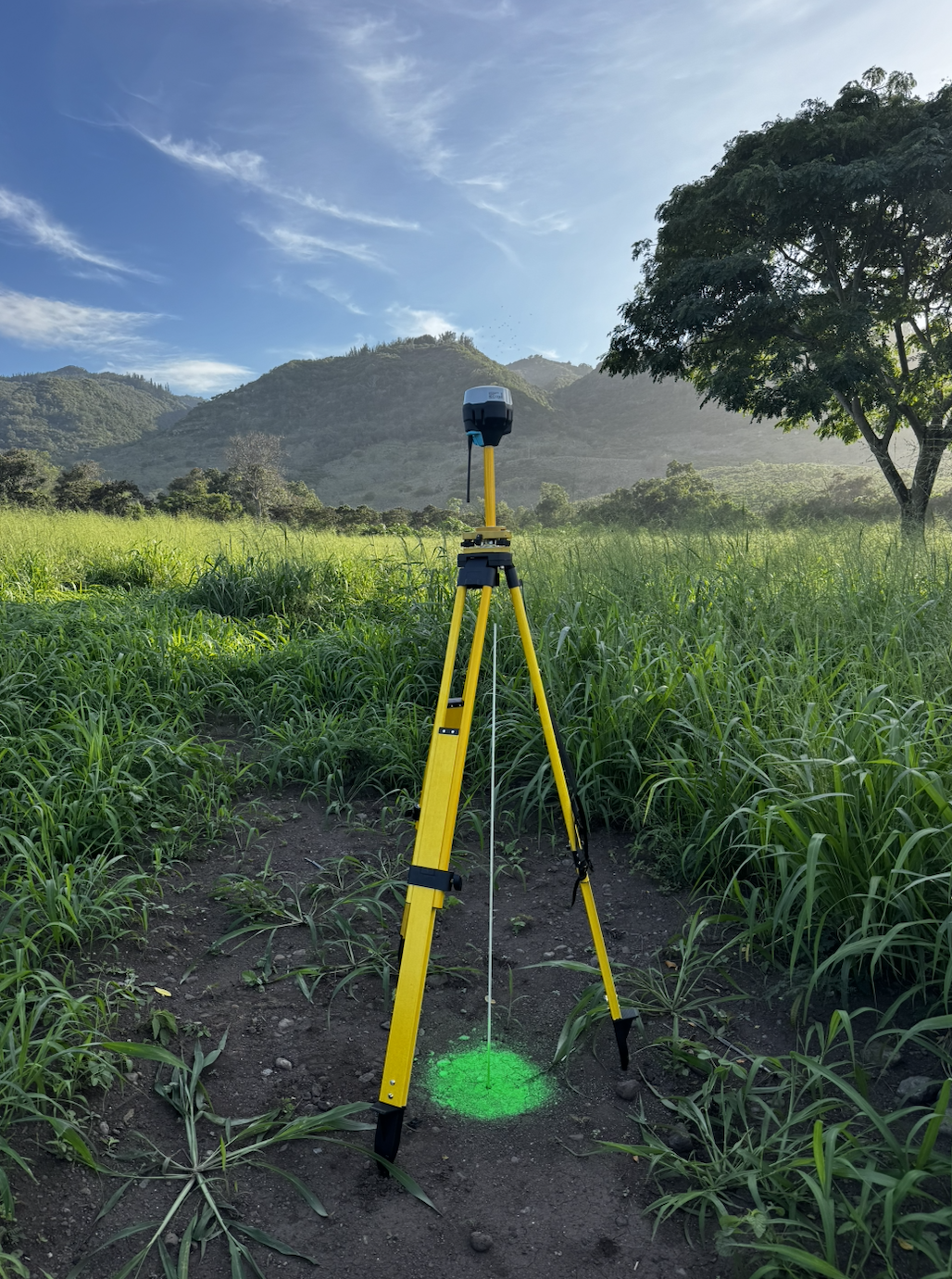
 Image 1 of 4
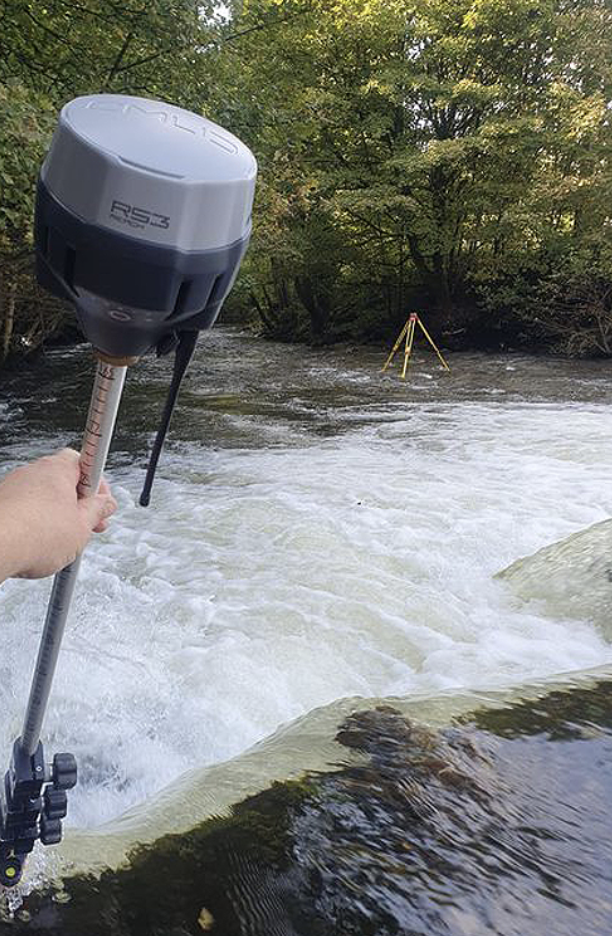 Image 2 of 4
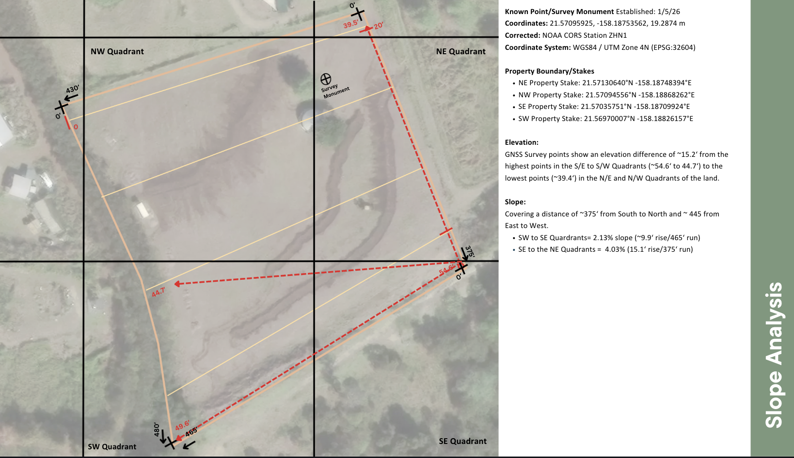 Image 3 of 4
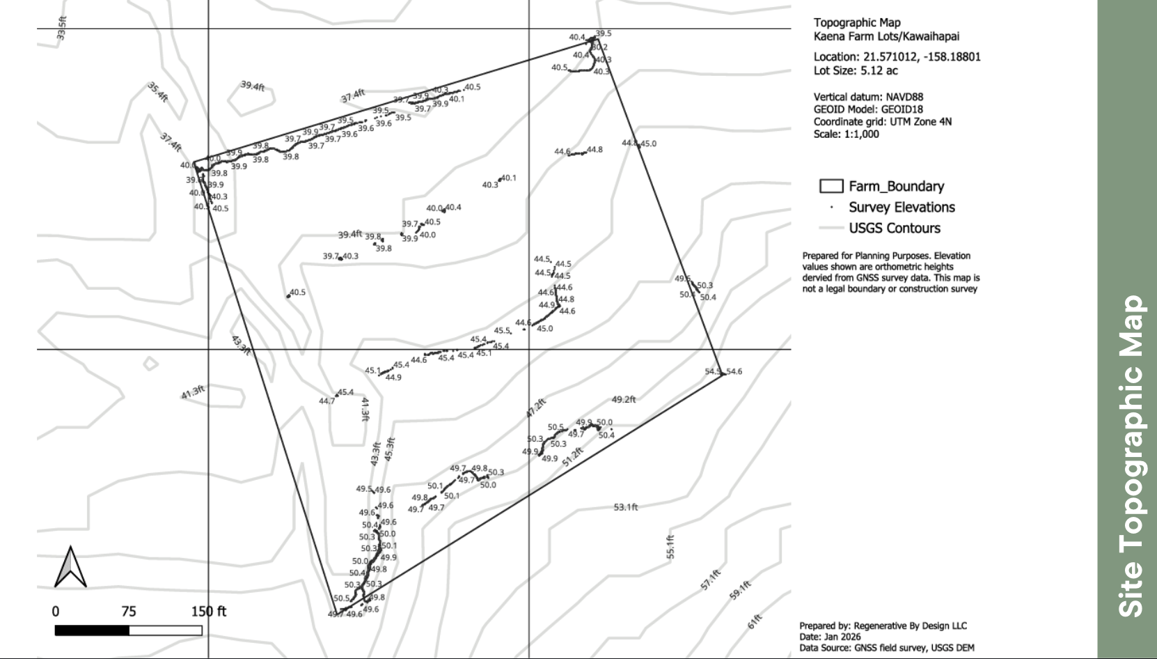 Image 4 of 4
We specialize in high-precision mapping services in remote areas, capturing real-world GPS locations of property stakes, infrastructure, utilities, landscape features and hazard zones. Our off-grid surveying equipment collects centimeter-level data and elevation points in locations where conventional surveying methodology (e.g. surveying monument or satellites) can not be used. Our site elevation data and maps can be used for planning, upgrades, permitting, troubleshooting, or documentation.
As-Built Lot Layout*
Existing structures (homes, barns, workshops, garages, sheds)
Driveways, paths, fencing
Access & easements
Utility locations (visible/semi-visible: septic, water tanks, wells, etc.)
Septic tanks, cleanouts, leach fields
Irrigation lines, valves, manifolds, laterals
Water tanks, back flow prevention system, pumps, meters, and controller boxes
Electric distribution and service lines
Solar exposure for off-grid systems and agriculture
Land Use Suitability & Due Diligence Mapping
Flood exposure & hydrology mapping
Drainage patterns & grading across lot
Erosion and water flow analysis
Flow accumulation and ponding areas
Slope analysis
Soil suitability
Wildfire risk (fuel load, historic wind direction/speeds, distance for hydrants or water source, fire breaks)
Historical hazards
Locations onsite viiable for agriculture, buildable lot areas etc.
Locations of Primary, Secondary and Supporting Agriculture Land Use
Property Boundaries & Dimensions**
GPS location of property boundary stakes
Lot boundaries & dimensions using on-site GPS and visual markers
Other Lot Improvements & Land Features
Topography transects
Landscape features: swales, contour berms, drainage ditches, outlets and other drainage features.
Property in relation to adjacent drainage systems, waterways, flood zones, and other higher-risk areas
Land clearing and other improvements
*As-built maps may be required as part of the DPP permitting process, USDA/FSA loan documentation or insurance.
** Please note: These maps are designed to support planning and decision-making. They are not a legal boundary survey and have not been prepared or certified by a licensed surveyor.”
BASE MAP PRICING
$350 site maps for small lots (2 hr onsite & post-field processing
$650 Topo/elevation maps for small lots (4 hr onsite & post-field processing)
$850 for larger or irregular lots (6 hrs onsite & post-field processing)
Add-ons:
Additional Mapping Services- $95/hr field time and $75/hr post-field processing
Analysis & Plan/Design Services - $75/hr